


Oxford International Student's Atlas
OXFORD UNIVERSITY PRESS, 2012
Price: 5 995 Ft
Libra Bookshop - Foreign Language Books
1085 Budapest, Kölcsey utca 2.
Opening hours: Mon-Fri 10-18, Sat 10-14
Can we help?
+36 1 267 5777
English language: +36 70 596 3787
Other foreign language: +36 70 627 6099
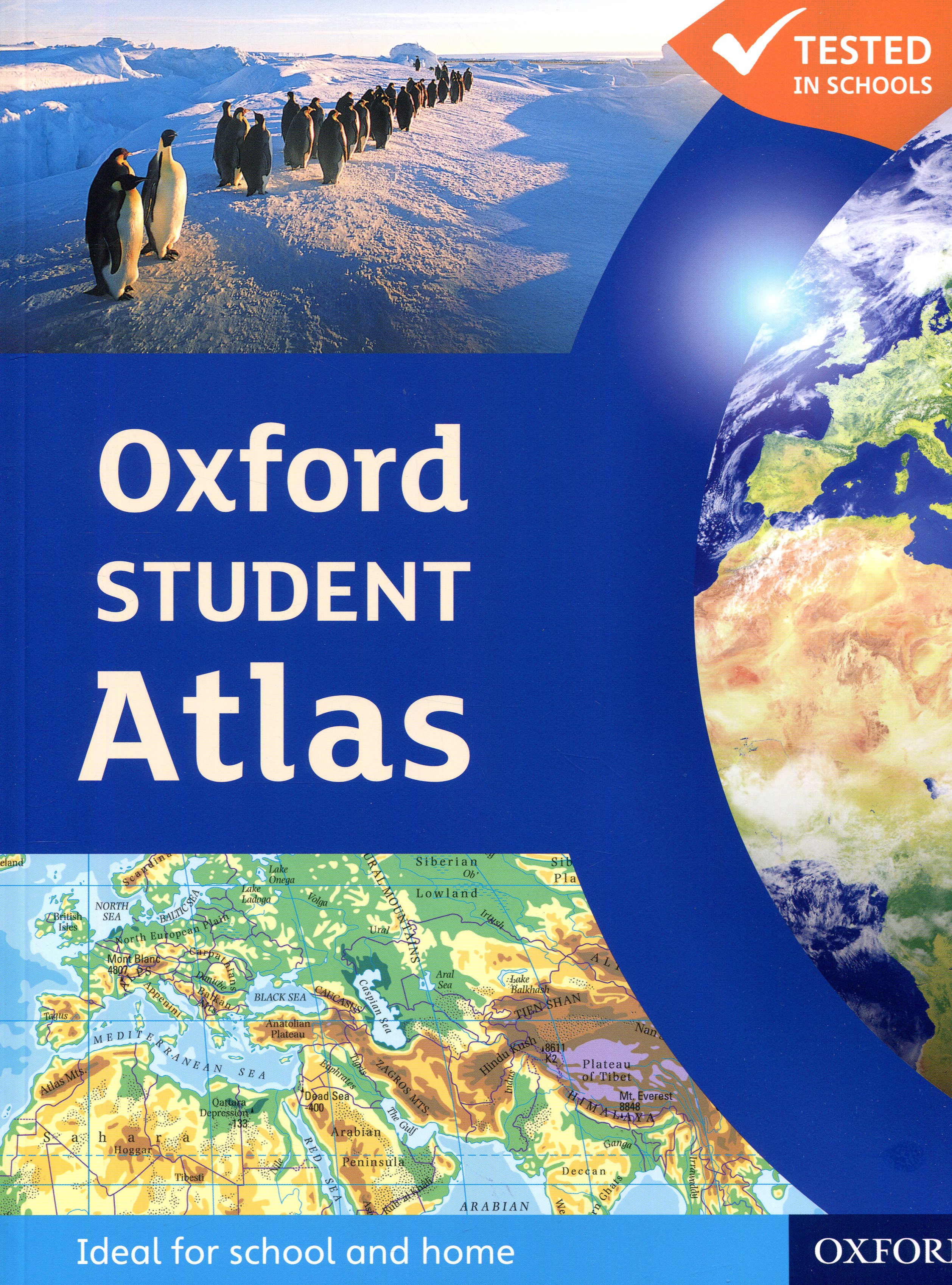

| ISBN: | 9780199136995 |
| Author: | Patrick Wiegand |
| Page: | 176 |
| Binding: | Soft cover |
| Publication date: | 2012 |
| Publisher: | OXFORD UNIVERSITY PRESS |
| Language: | English |
Price: 7 275 Ft
Reviews
Similar products
OXFORD UNIVERSITY PRESS, 2012
Price: 5 995 Ft

DK CHILDREN, 2018
Price: 6 250 Ft

OXFORD UNIVERSITY PRESS, 2012
Price: 5 575 Ft
Category top list

RICHMOND PUBLISHING,
Price: 7 250 Ft

PEARSON LONGMAN, 2006
Price: 4 125 Ft

STEINKOPFF, 2007
Price: 33 850 Ft

CENGAGE LEARNING(NATIONAL GEOGRAPHI,
Price: 26 500 Ft

RICHMOND PUBLISHING, 2011
Price: 9 350 Ft

RICHMOND PUBLISHING, 2003
Price: 9 385 Ft

PEARSON LONGMAN,
Price: 3 825 Ft

OXFORD UNIVERSITY PRESS, 2009
Price: 13 475 Ft

CAMBRIDGE UNIVERSITY PRESS, 2004
Price: 10 275 Ft

PEARSON LONGMAN, 2008
Price: 3 825 Ft

PEARSON LONGMAN,
Price: 3 825 Ft

PEARSON LONGMAN, 2006
Price: 3 825 Ft
| Elégedettség a bolttal: | |
| Szállítási idő: | |
| A bolt áttekinthetősége: | |
| Ügyfélszolgálat/kommunikáció: |
